The Cove Palisades State Park
Culver, Oregon
August 28th, 2021
Crooked River Day-Use Fee Area
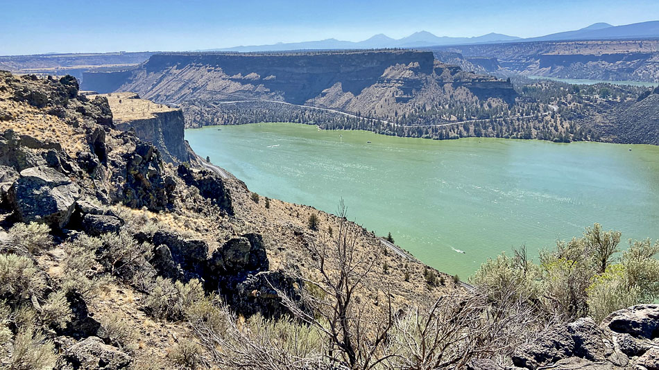
AREA GEOLOGY:
About 10-12 million years ago, alternating layers
of
stream sediments, volcanic debris and basaltic lava
flowed from the Cascade Mountain Range into a huge
basin in the area. Named the "Deschutes Formation."
these exposed layers of material were capped by lava
flows from the Cascade volcanoes three million years ago.
Known as "rimrock basalt,"the cap is easily seen high
stop the steep cliffs of the canyons. Subsequent
periods of dramatic water erosion and volcanic
activity have formed the awe-inspiring canyons and
vertical cliffs seen today.
There are four viewing area in the rim
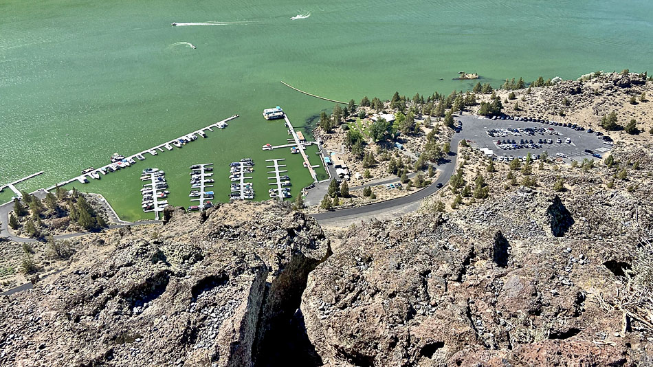
The Cove Palisades Marina & Resort
(We are renting a pontoon boat tomorrow)
The map
Fuji Television was in the area for almost six months,
filming a movie drama about Japanese family in the US.
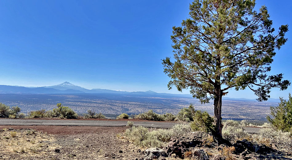
Round Butte Overlook
Mount Jefferson on the right.
Crooked River Day-Use area
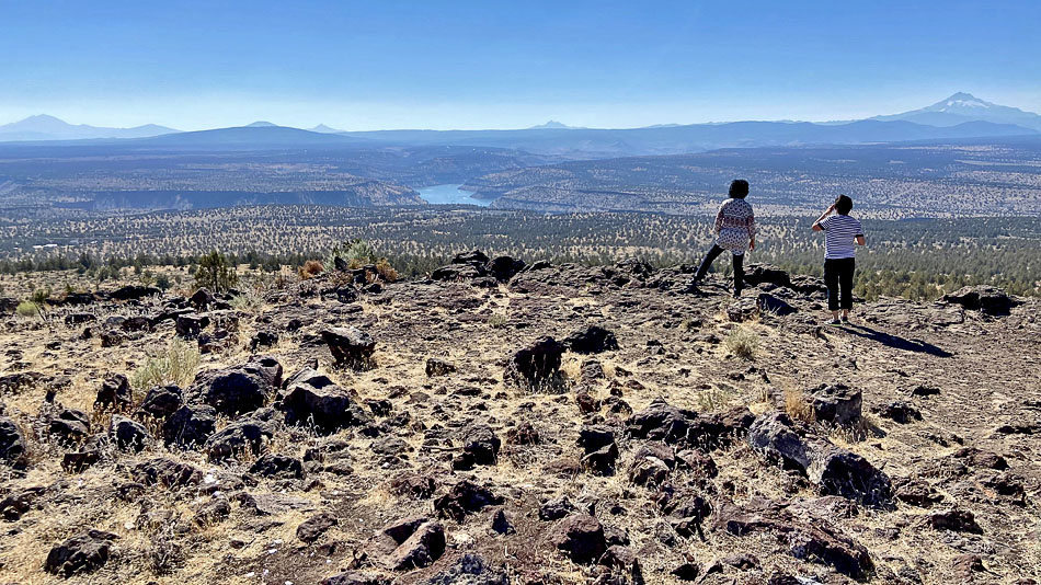
We were up there on the rim.
The view after crossing the bridge from the west side
A special thanks to Jerry Ross who introduced us to this area.
Other pictures on the way here:
The Mill Creek bridge, highway 26.
Meinig Park, Sandy
(c) yongkieandpokie
MMXXI
08312021